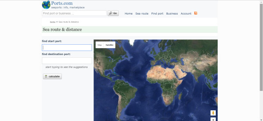
Want to find how long it would take to get to point A to point B on a map, by boat? I know Google Maps is great for car and bus, but how about sea travel?
Find the speed in knots (per example, a steamship from 1850 has a speed of 12 knots according to this site , enter the port city and voilà!
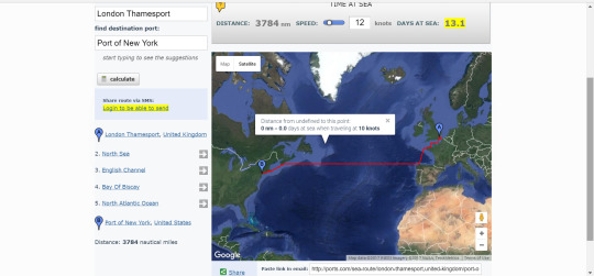
Want to find the distance it’d take to get from London to New York during the 19th century, on a steamboat, and quickly? Tadaaah!
They even tell you the number of days at sea! And the seas/oceans you cross!
Happy writing, and good luck on the last days of Camp Nanowrimo April 2017!